regnaD kciN
regnaD kciN's JournalTo Helen back...
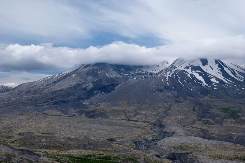
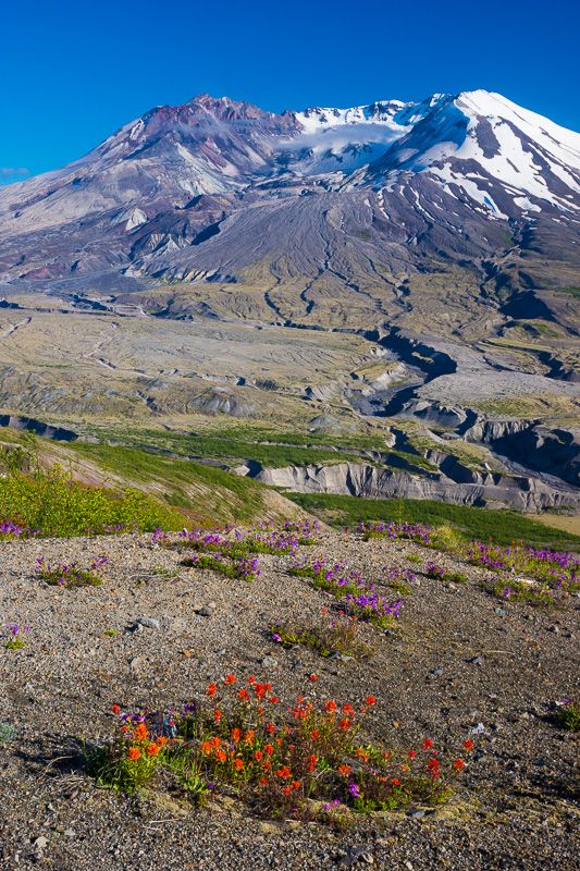
My only previous visit to Mount St. Helens took place in late summer five years ago, and my reaction at the time was that the area surrounding the volcano was still oppressively dead. At the time, I found myself wishing I could return during the early-summer wildflower bloom, in the hopes that their color would transform the landscape. Hearing that the bloom was taking place early this year, I made the journey there on the solstice, a blue-sky day in which there was only significant cloudiness over one small part of the Pacific Northwest. Anyone care to guess which place that was?
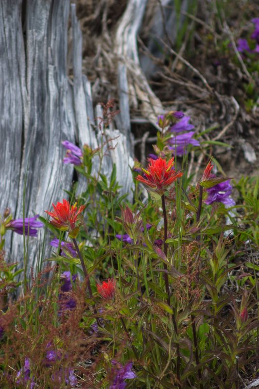
For awhile, I thought I might have to outfit my camera with a "My photographer went to Mount St. Helens, and all I got was this lousy photograph of an Indian Paintbrush" shirt.
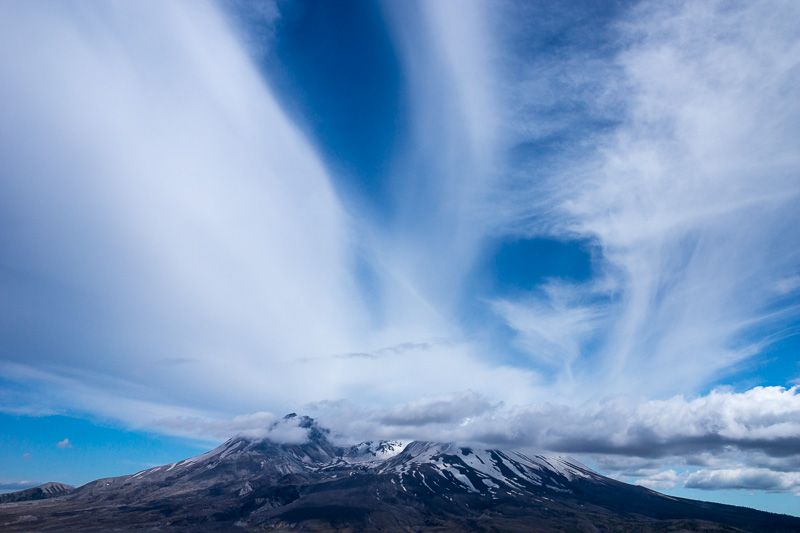
But, as I waited (and debated with myself whether, if I left now, I'd be able to make it to the coast before sunset), the cloud cover began to transform itself -- first, into a display I could only describe as "Cloud Eruption."
Gradually, the clouds began to dissipate...
...and, soon enough, were gone altogether...
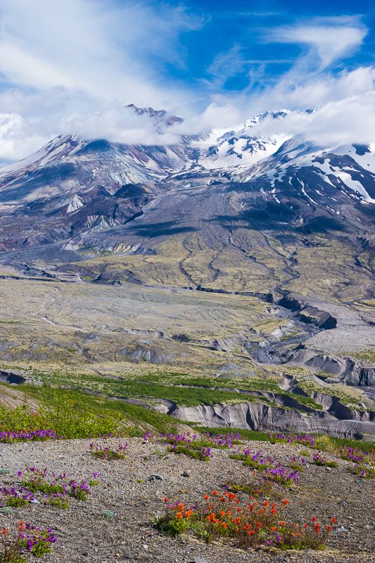
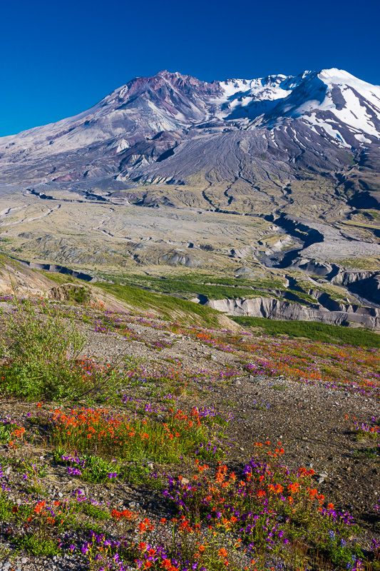
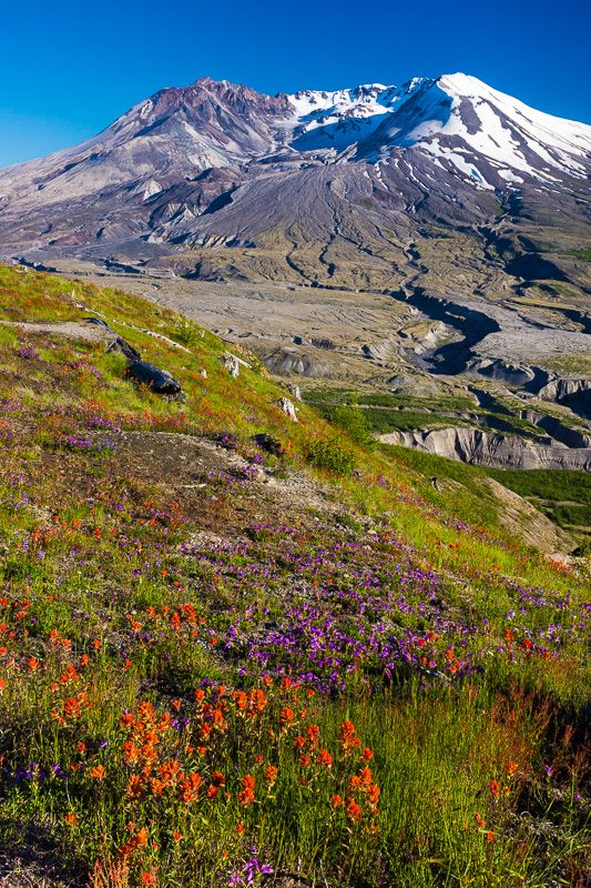
...giving me some great photo opportunities along the Boundary Trail.
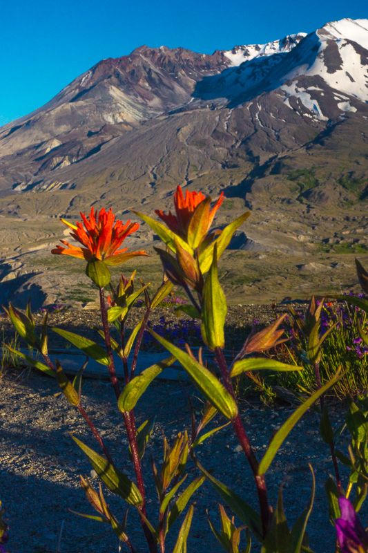
On my way out of the park as evening fell, I stopped at Loowit Viewpoint for a closeup of Paintbrush "under the volcano."
I understand that, while the past winter's weather meant the wildflowers are early this year, it also means they aren't as plentiful as in years of a spectacular bloom such as 2012. Needless to say, if that's the case, I'm looking forward to returning in future years!
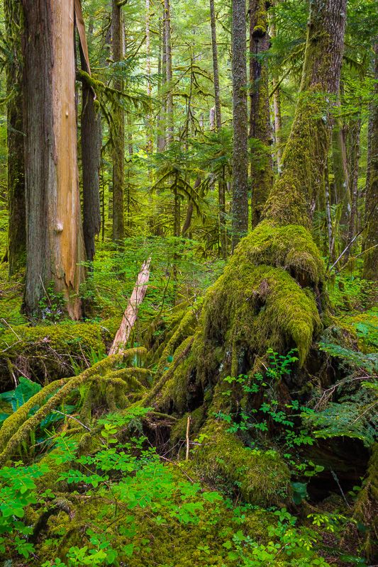
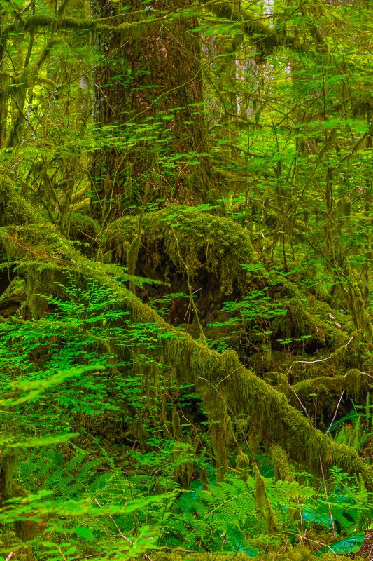
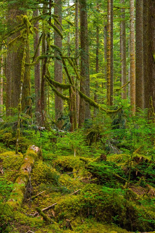
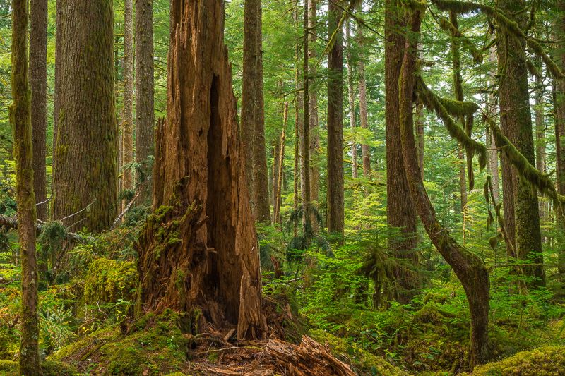
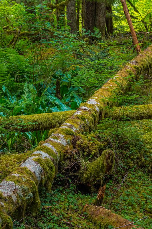
A Pocket Rainforest in Rainier's shadow
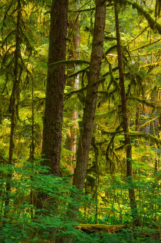
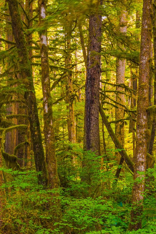
Most residents of and tourists to the Pacific Northwest have heard of the Hoh Rainforest in Olympic National Park, but fewer know that Washington boasts a second temperate rainforest, this one just a ninety-minute drive from Seattle.
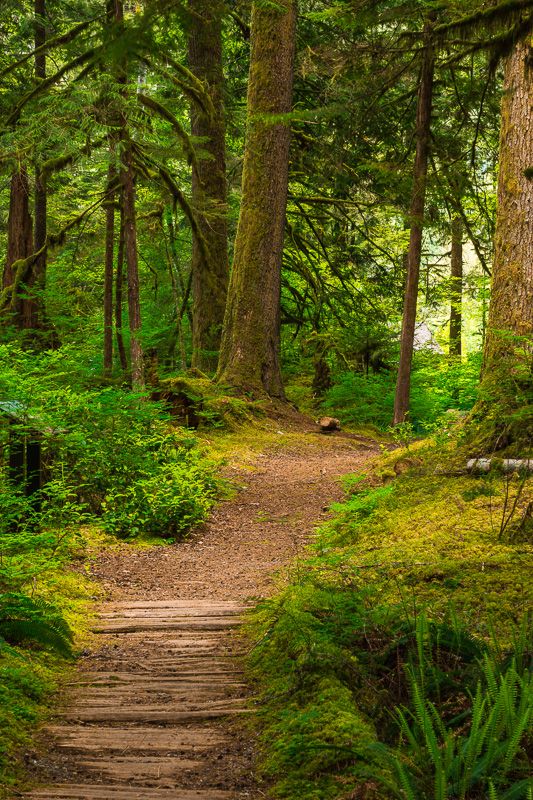
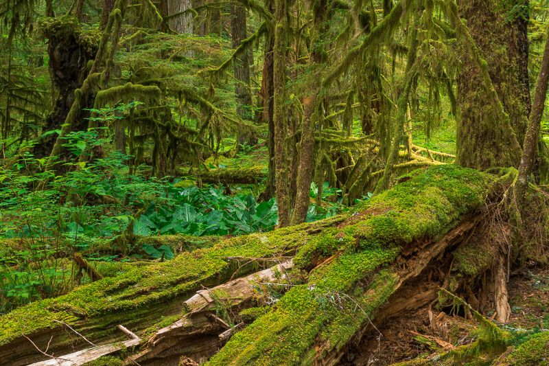
The Carbon River entrance to Mount Rainier National Park is found in the northwest corner of the park, far from the main tourist entrances on the south and east sides of the mountain. Until almost a decade ago, visitors could use the rough, unpaved Carbon River Road to drive as far as Ipsut Creek campground, from where they could access the Wonderland Trail around Rainier; they could also stop along the way to hike to places like Chenius Falls, Ranger Falls, and Green Lake. Sadly, heavy winter floods in 2006 damaged Carbon River Road, and it has never been rebuilt. The road now closes at the park entrance, making those destinations a much-longer hike away. But, at that entrance, you can find one of the treasures of Mount Rainier: the Carbon River Rainforest.
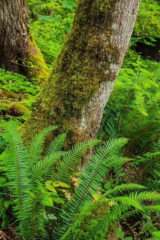
I will admit that before the 2006 floods, I used to drive by the rainforest, barely giving it a second glance. My mistake. I returned there recently, and found myself wishing I had done so long before.
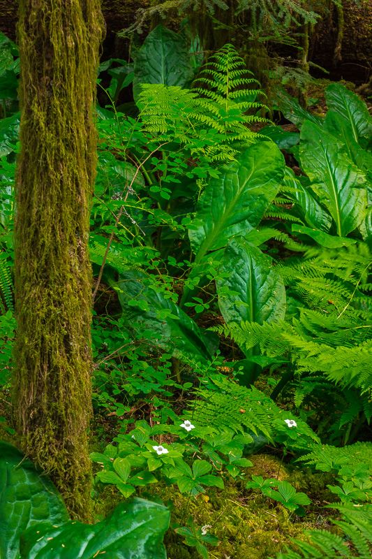
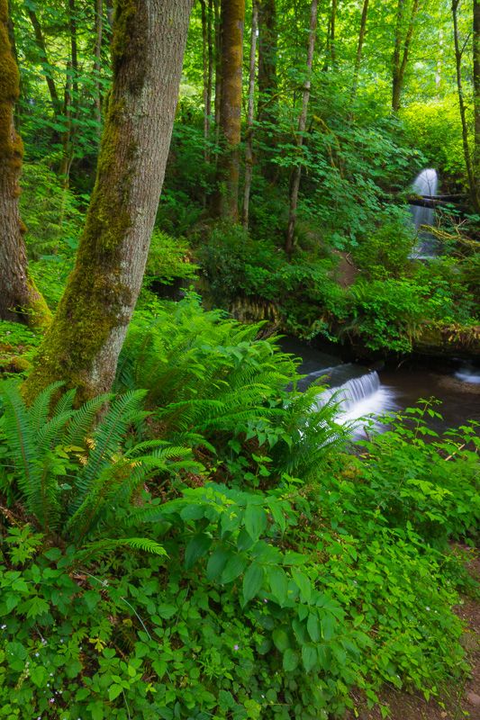
The Rainforest Trail used to be a short loop through the forest; smaller than the Hall of Mosses and Spruce trails of the Hoh, it ran merely a half-mile, mainly on a nicely-constructed boardwalk, winding along and crossing June Creek. Nature has taken its toll here, too, and a bridge on the loop is now out (and looks unlikely to be rebuilt soon), turning the loop into a couple of even-shorter out-and-backs. No matter; what visitors to both rainforests will soon realize is that this is, for all purposes, a "mini-Hoh" -- much smaller, yes, but containing all the beauty of the larger, more-famous rainforest. It also struck me that there are, if anything, more nice photographic compositions readily available from the trail here. I know I'll be back...often.
Water Falling Over Things 2014: Part VI (Victor Falls...vanquished photographer)
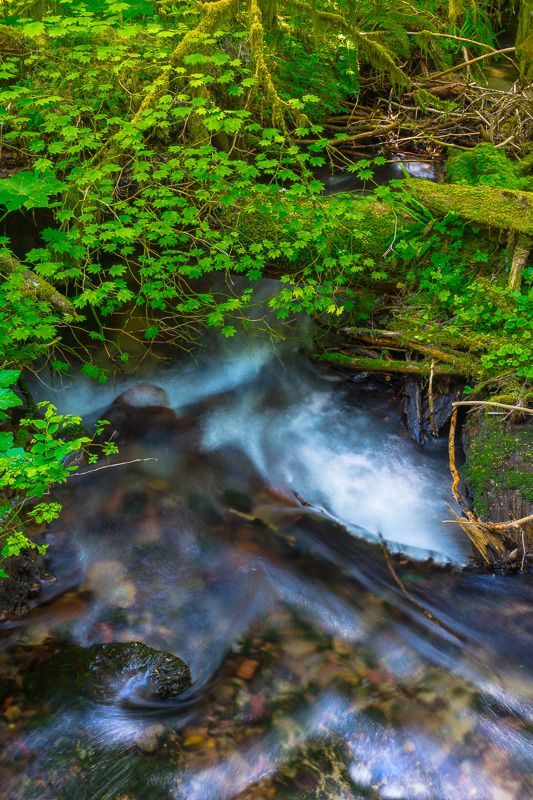
After the long-distance WFOT extravaganzas of the past few weeks, I was feeling like staying closer to home for my next venture, and decided to check out Victor Falls on Fennel Creek, found (rather surprisingly) in the Seattle exurb of Sumner.
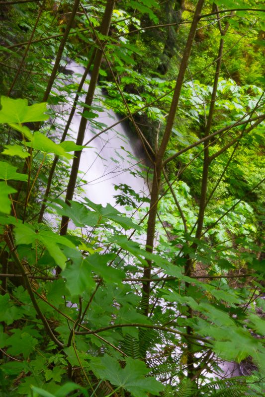
I had seen photographs of Victor Falls before, but it was only after visiting them myself that I realized one common denominator of those photographs: they were apparently all taken in winter, or at least before the leaves had emerged on the maple saplings directly in front of the falls.
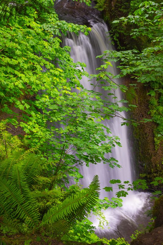
This was the best angle I could get on Victor Falls from the upper path, one which would be more appropriate under the category of "Water Falling Behind Things 2014."
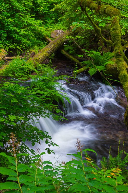
There was also a lower path, but that was no improvement, to put it mildly. This was the photo I could get from the end of that lower path, a photo that required me to place the tripod on a narrow shelf at the very end of the path, with me standing to the side of the camera instead of behind it, and using the hinged "live view" monitor to compose, while I used my other hand to hold back even more maple branches.
Fortunately, Fennel Creek upstream of the falls was scenic enough to make up for my disappointment at not being able to get a clear image of the falls themselves.
Profile Information
Gender: MaleHometown: Maple Valley, Washington
Member since: 2001
Number of posts: 26,044