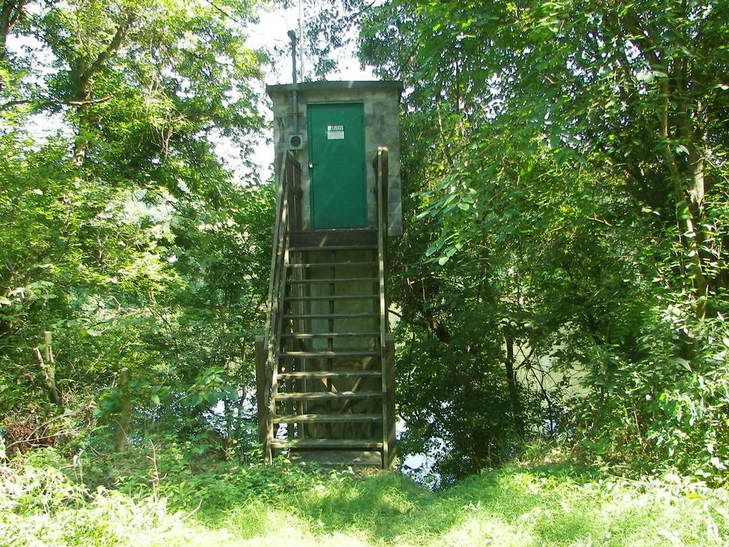
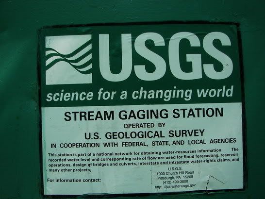
River Gage on the trail. Feel Confident, look at how high the USGS put the shack to protect its instruments during a flood:
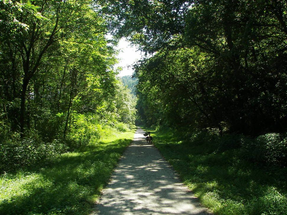
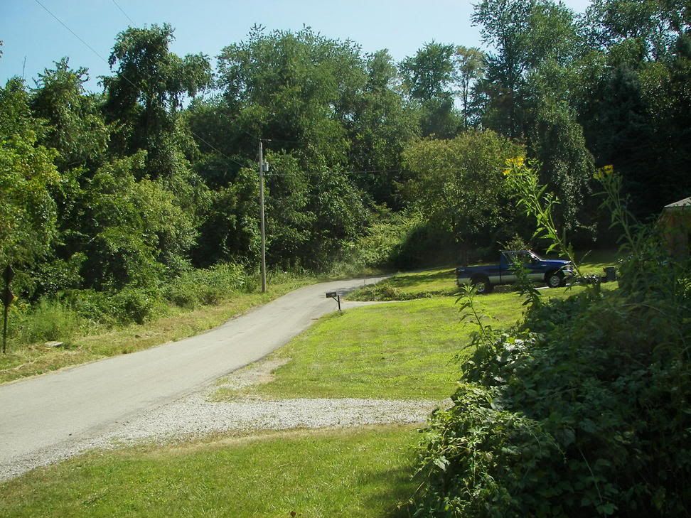
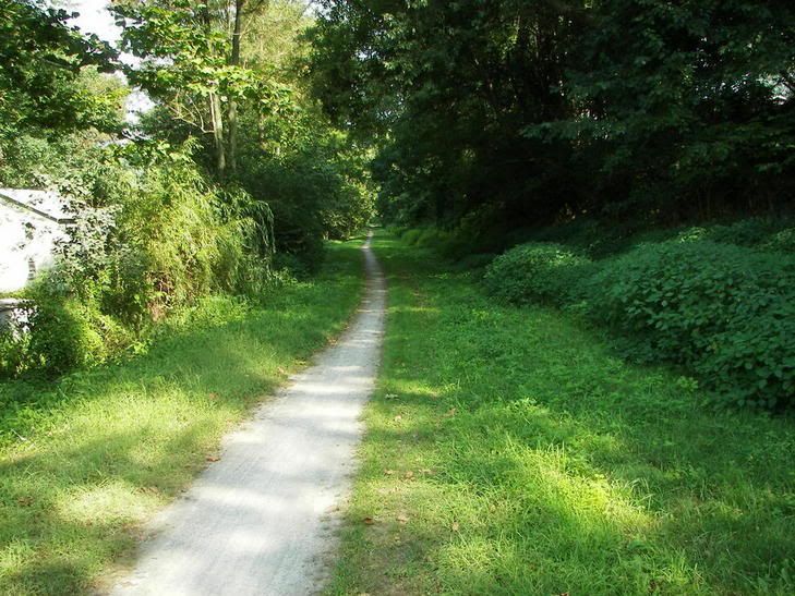
The Trail itself in Smithdale:
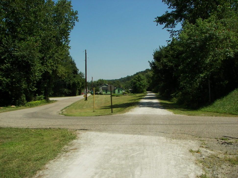
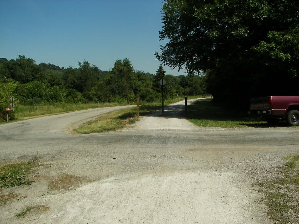
Entering Smithdale, Pa:
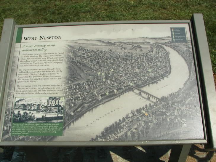
On to West Newton:
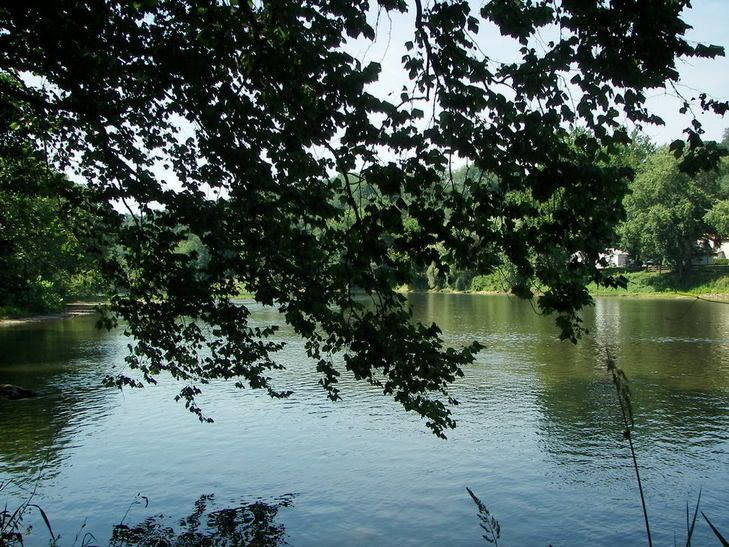
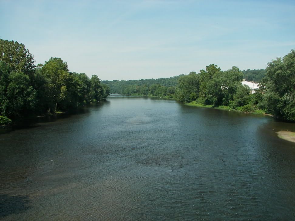
Picture of the Youg from the Bridge in West Newton:
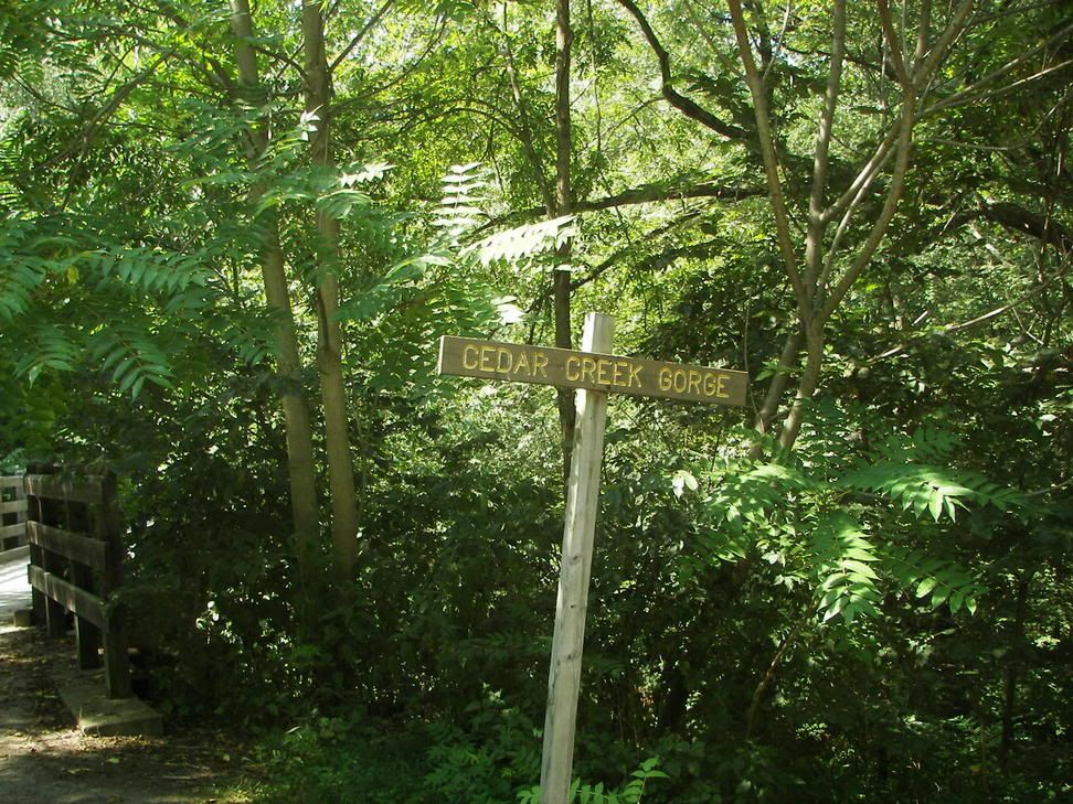
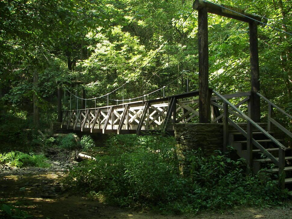
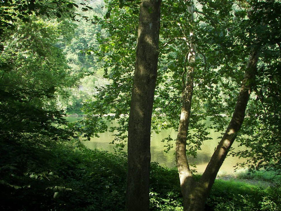
Cedar Creek County Park:
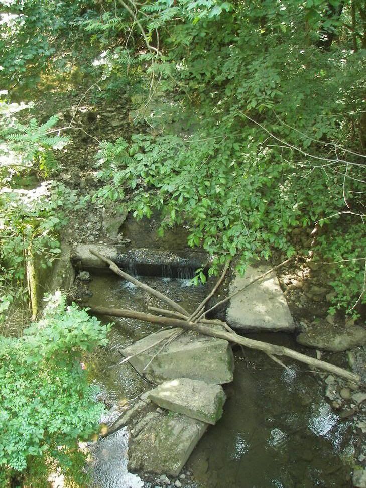
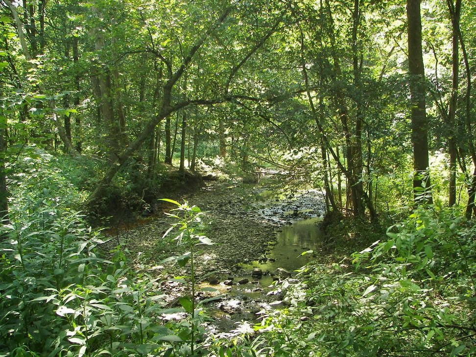
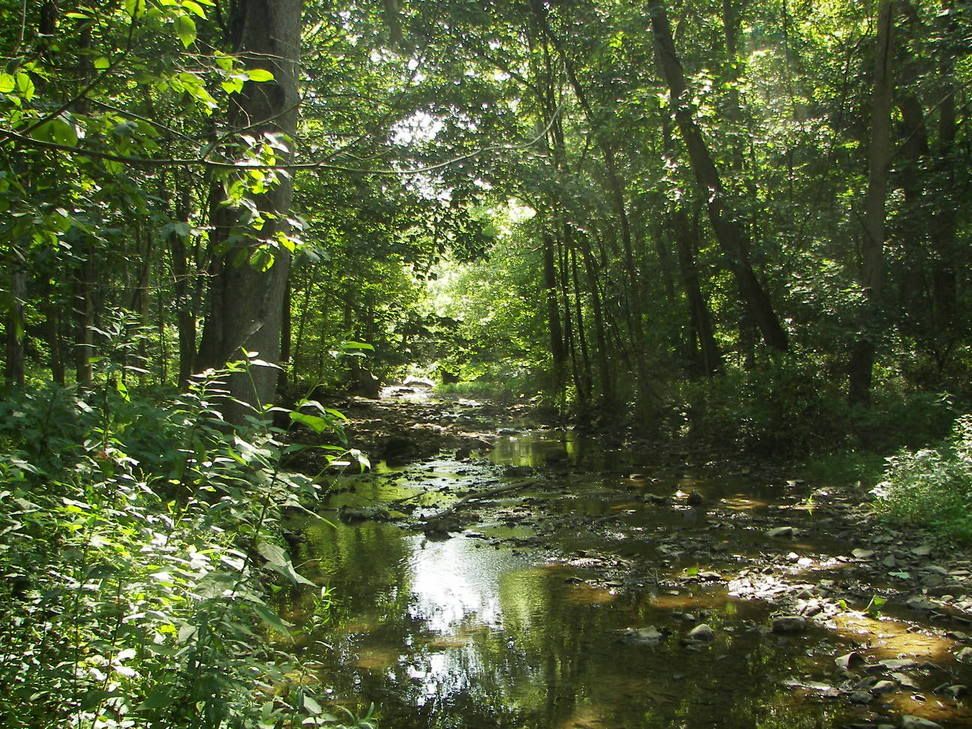
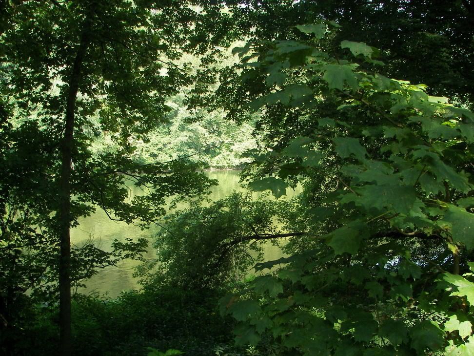
The side trail up Cedar Creek:
The parking lot At CEdar Creek Park:

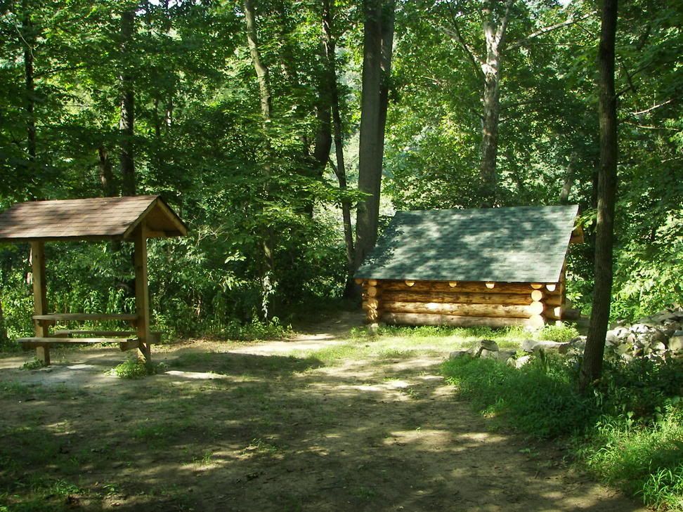
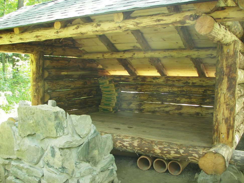
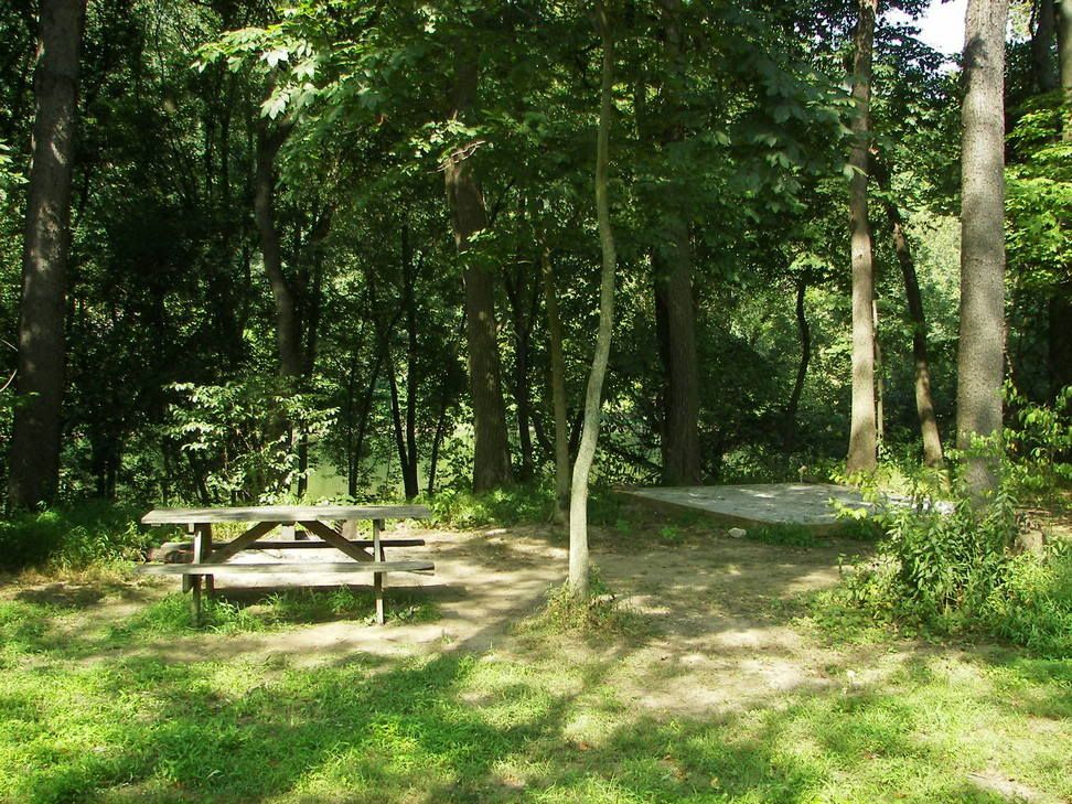
The Adirondack types cabins in Cedar Creek County Park:
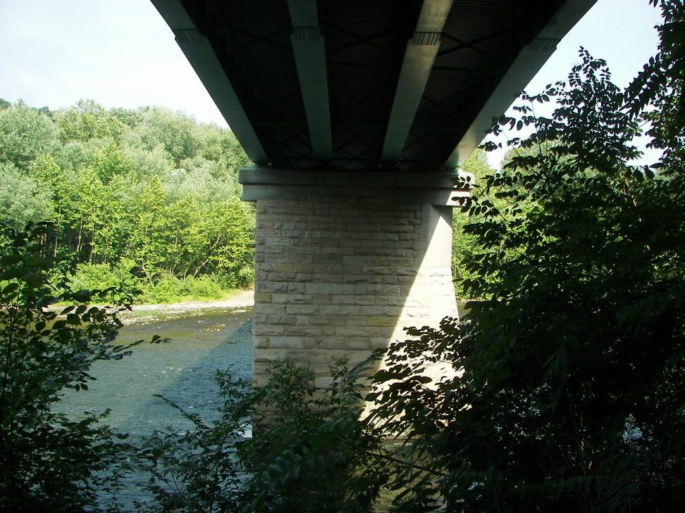
Bridge Across the Youg (No Direct connection via the trail):
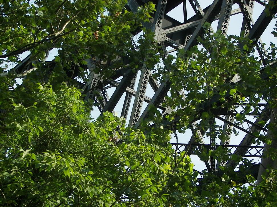
The Norfolk and Southern Bridge over the Youg (High Bridge over the Youg, no access from Trail):
After that Bridge you go a little bit and the Trail opens up:
This is the oldest part of the Trail, and even the Youg Trail organization said they have learns a lot since this part of the trail was built, note how narrow the limestone part of the trail is today:
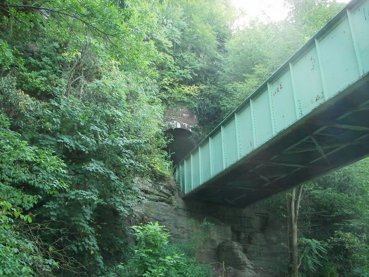
Interesting one lane Tunnel and Bridge, Connection is via a dirt road on the other side of the tunnel:
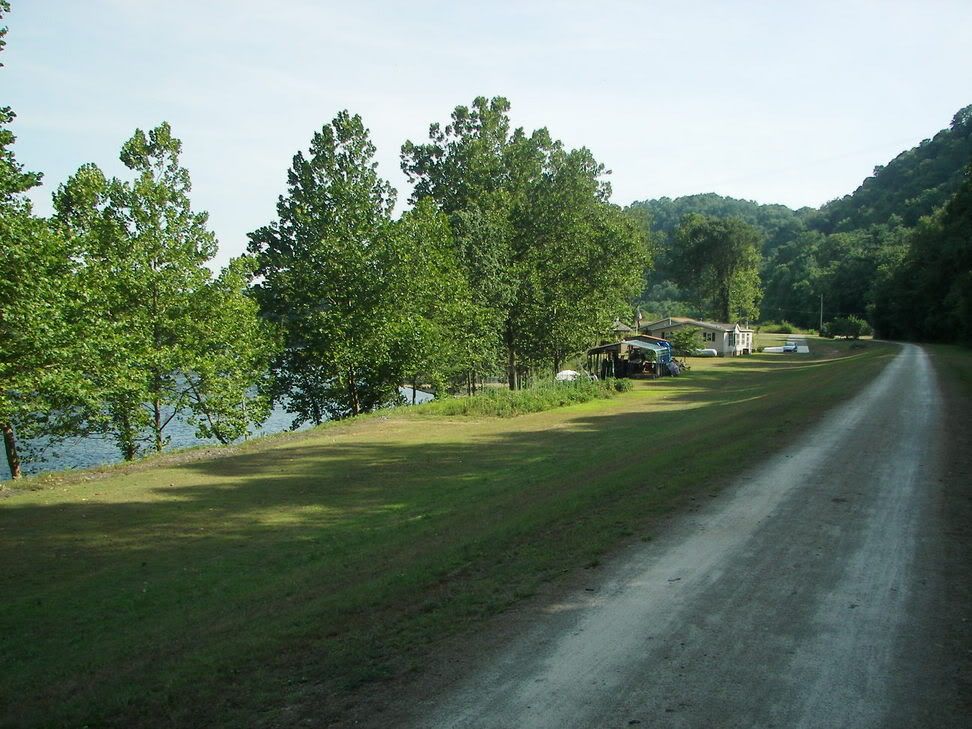
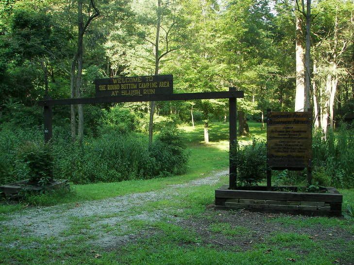
The last free camp site on the Trail:
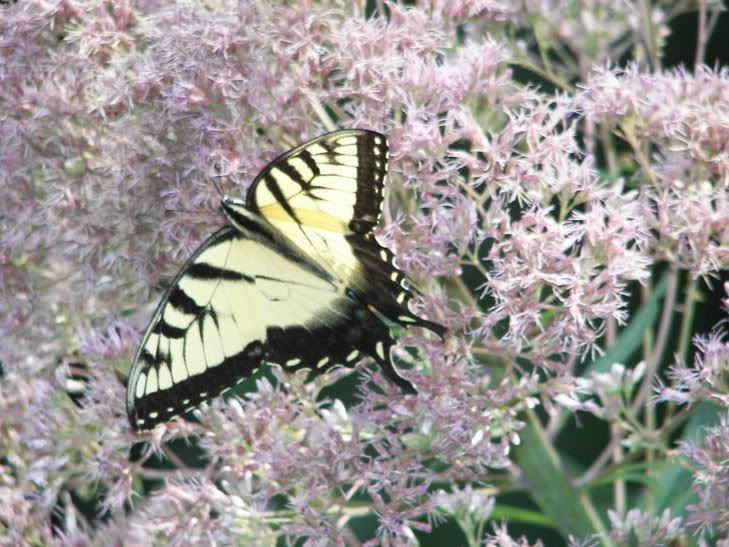
Butterfly on the trail:
Just before Connesville you enter an open area, first where new houses are being built and then a park, just as the open area ends you can see a bridge on your left. It only goes to the old B&O lines (must have been a cross line between the two Railroads before the C&O closed down):
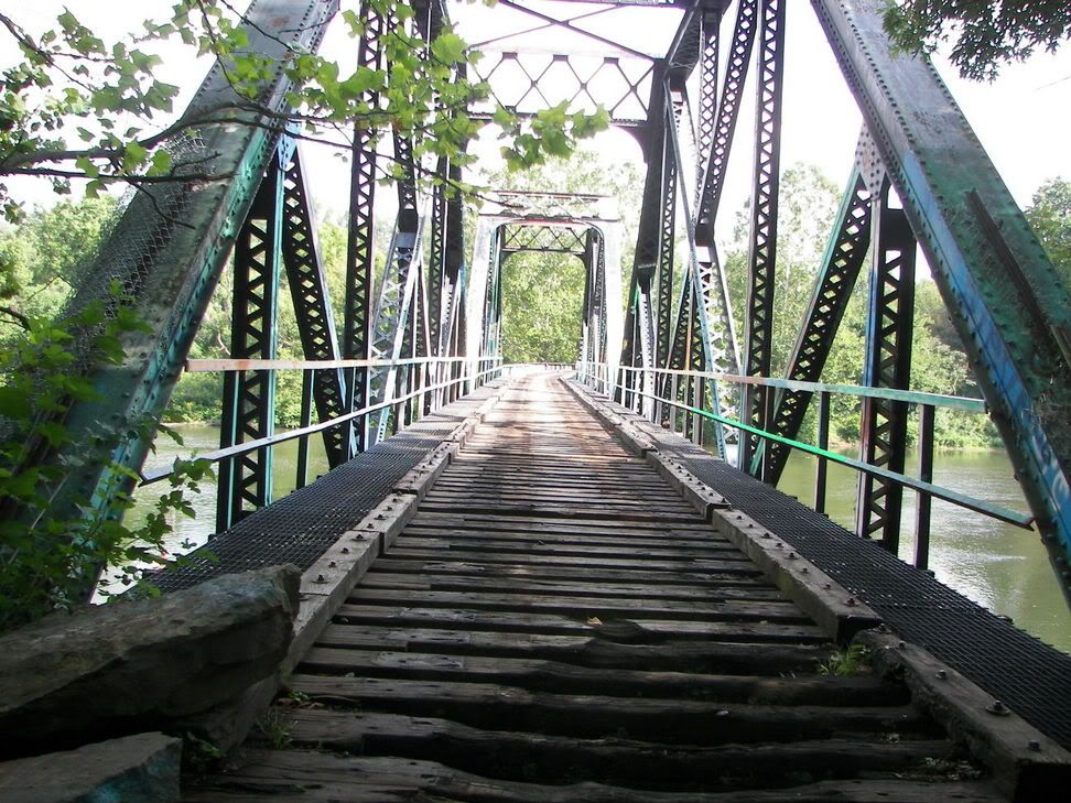
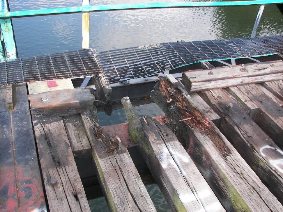
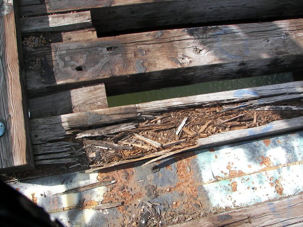
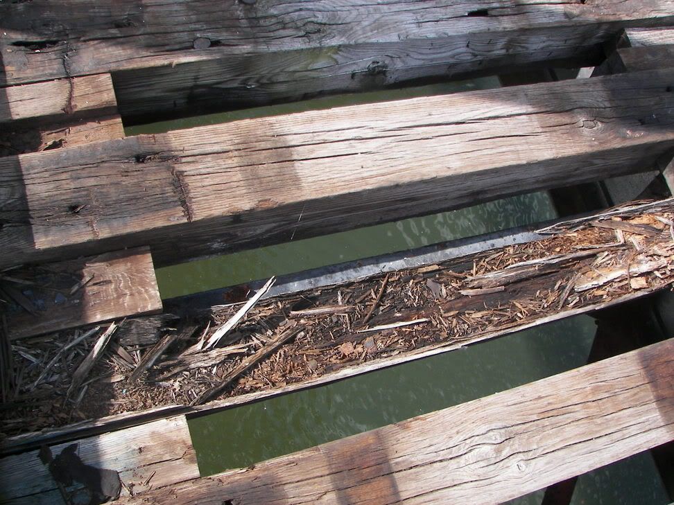
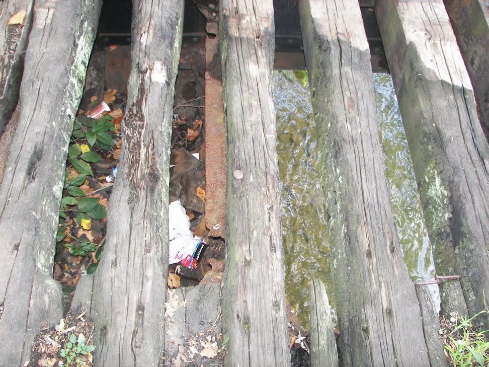
The bridge is in bad shape but appears solid, but it is easy for one to get hurt on this bridge:
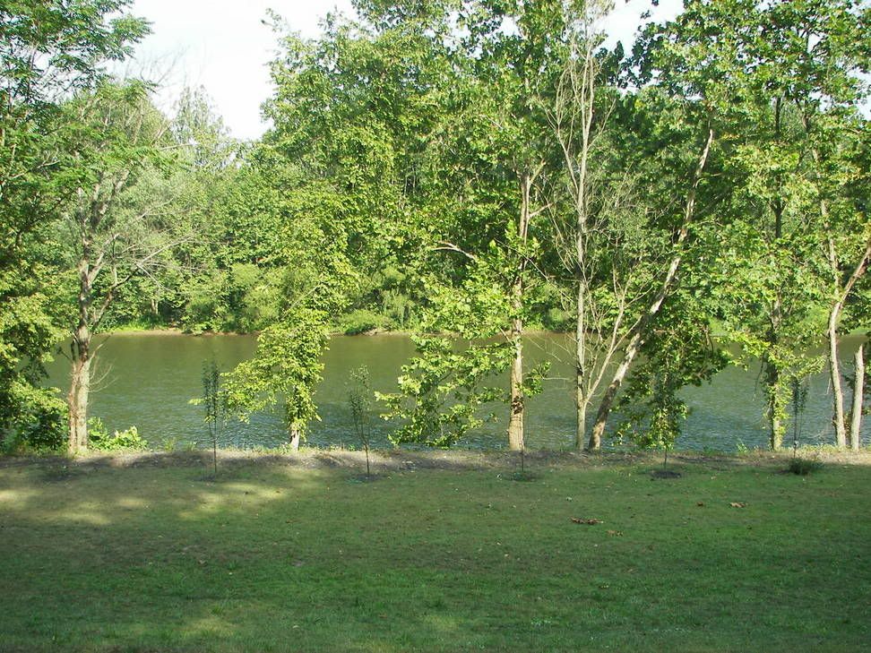
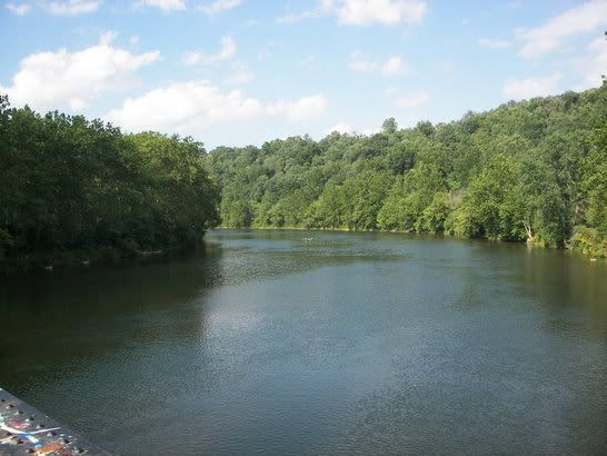
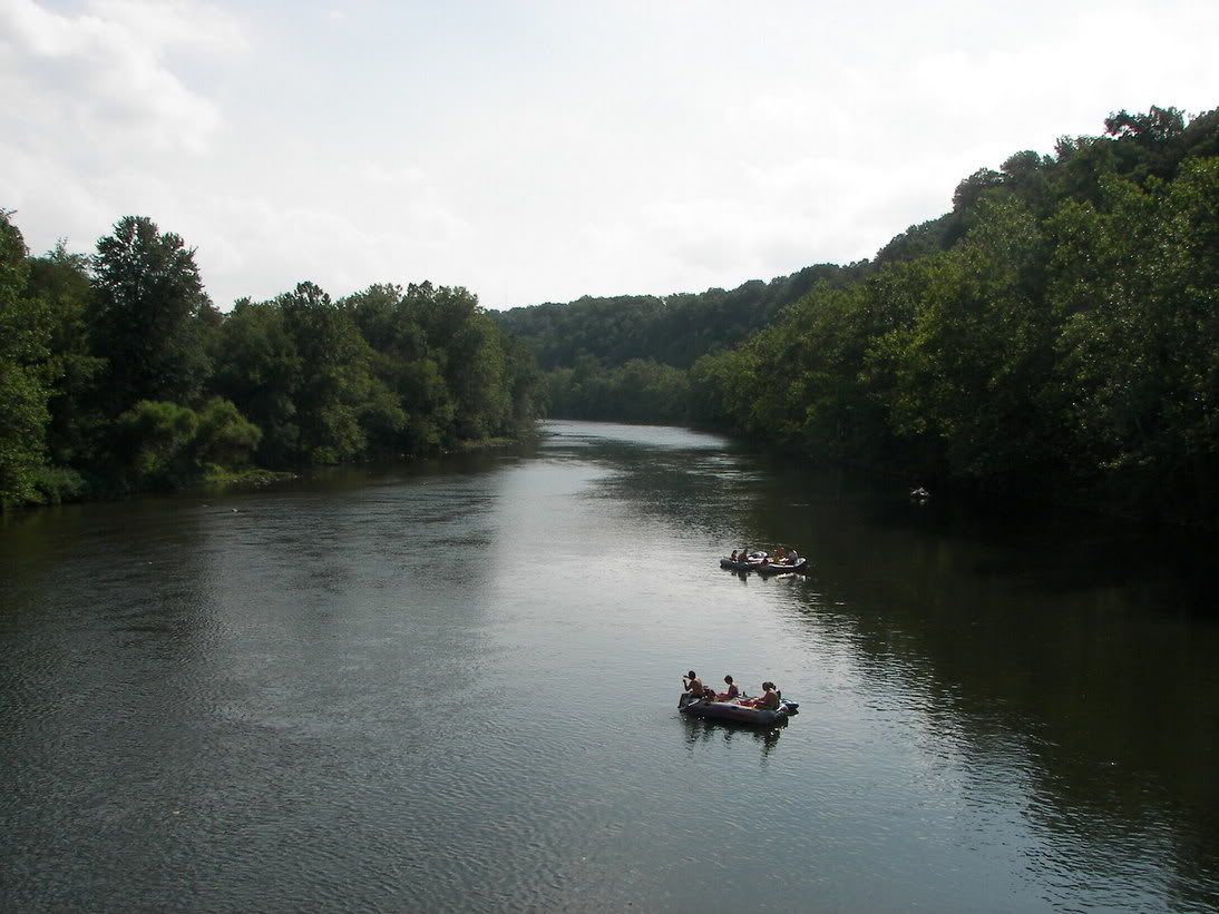
View of the Youg from the Bridge:
Horses can use this part of the trial, this is where one can drop off a horse:
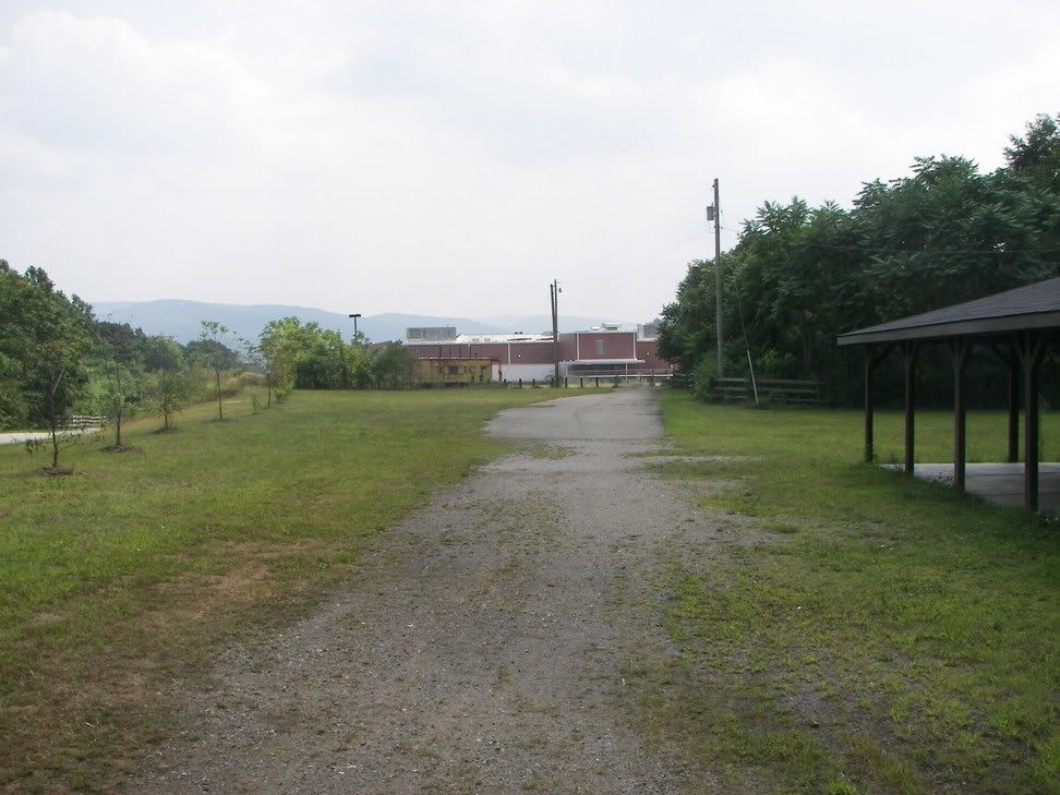
Where the trail diverts from the old Rail bed, Straight ahead is a Shop and Save Grocery Store to your left is the new trial going to Connelsville Riverside Park:
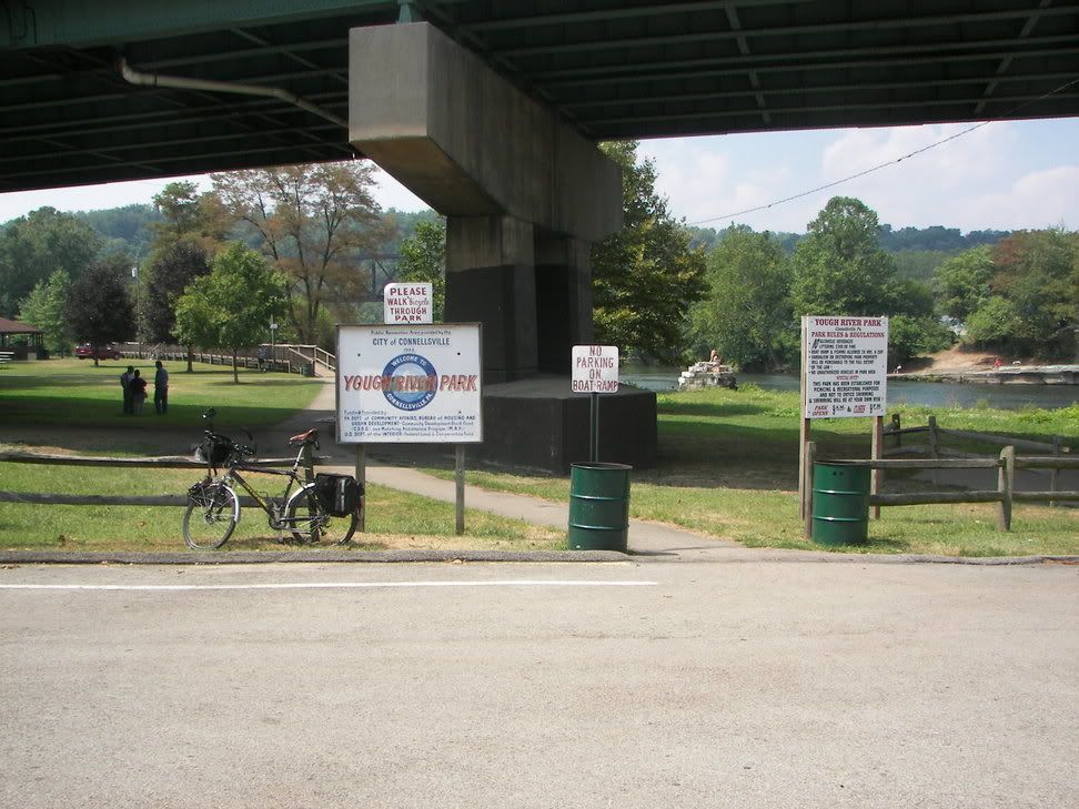
River view park in Connelsville:
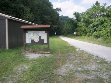
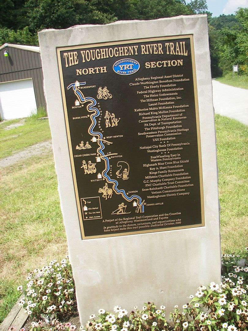
Trail Marker in Connelsville:
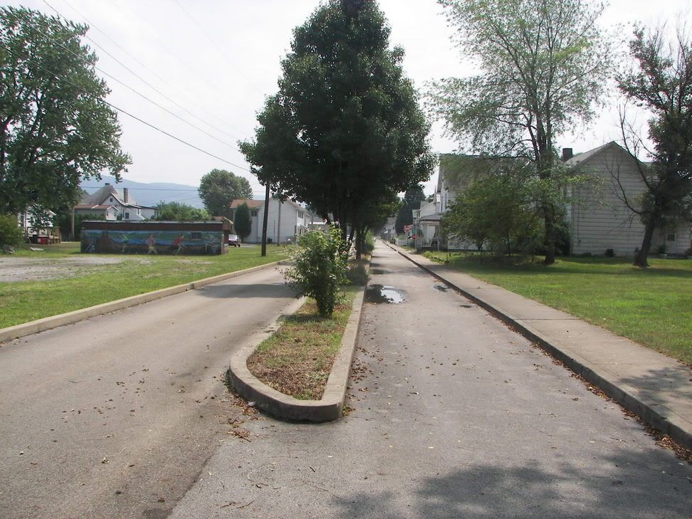
The trail going to Ohio-pyle through Connelsville::
Trail marker in Connelsville:
I did this part of the trail on two successive Sundays, it is a long trip from West Newton to Connellsville.