General Discussion
Related: Editorials & Other Articles, Issue Forums, Alliance Forums, Region ForumsErin latest
OUTER RAINBANDS OF ERIN STILL PRODUCING HEAVY RAINS AND GUSTY WINDS ACROSS PUERTO RICO AND THE VIRGIN ISLANDS...
https://www.nhc.noaa.gov/
My brethren in Turks and Caicos says tropical storm winds.

Please note the one behind Erin - word is that is the one to watch
https://www.nhc.noaa.gov/
Fix link
 = new reply since forum marked as read
Highlight:
NoneDon't highlight anything
5 newestHighlight 5 most recent replies
= new reply since forum marked as read
Highlight:
NoneDon't highlight anything
5 newestHighlight 5 most recent replies

spooky3
(38,976 posts)
malaise
(299,235 posts)that we will have some,outerbands rain, wind lightning and thunder.
Hope we have services. Next week now all bets are off.
Still I will head out in a few for some coffee ice-cream.  😀
😀

cachukis
(4,157 posts)
surfered
(14,883 posts)GFS Model Aug 24

The GFS takes the system up the west coast of Florida as a strong hurricane
European Model Aug 23

The European Model does not forecast as far into the future as the GFS

malaise
(299,235 posts)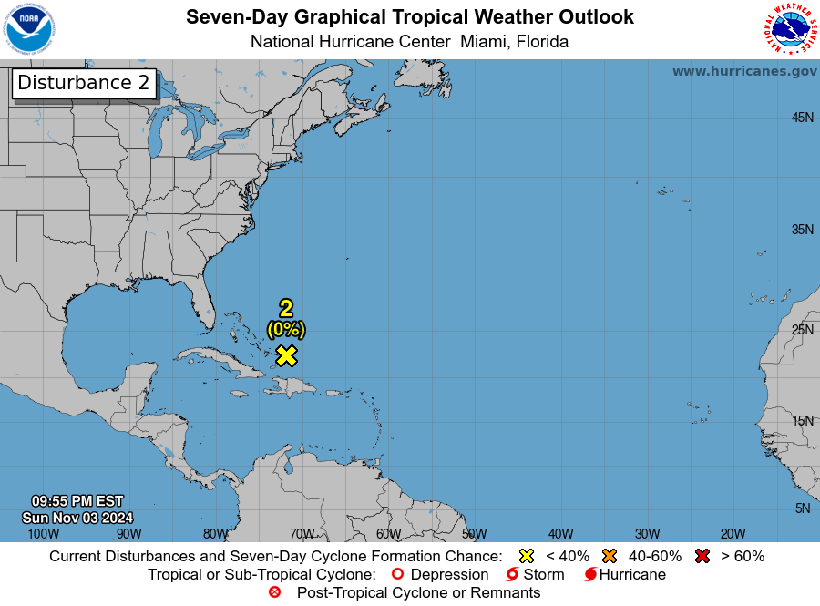

misanthrope
(9,672 posts)That's why there are no spaghetti models for it. Computer models are nice and all but this far out they aren't very accurate. In the last 48 hours, the models have shown it going anywhere from Houston to NYC.

JustABozoOnThisBus
(24,763 posts)malaise
(299,235 posts)Turks and Caicos got the worst of this. Remember it weakened today.
None of them took a direct hit and it looks like Bermuda will be spared.